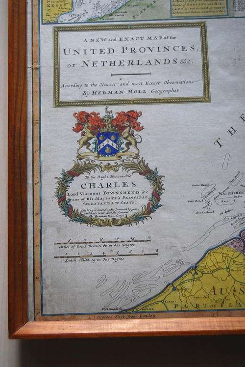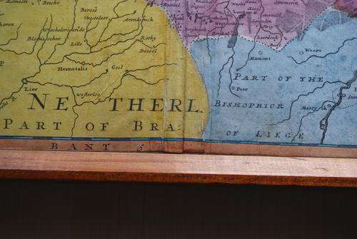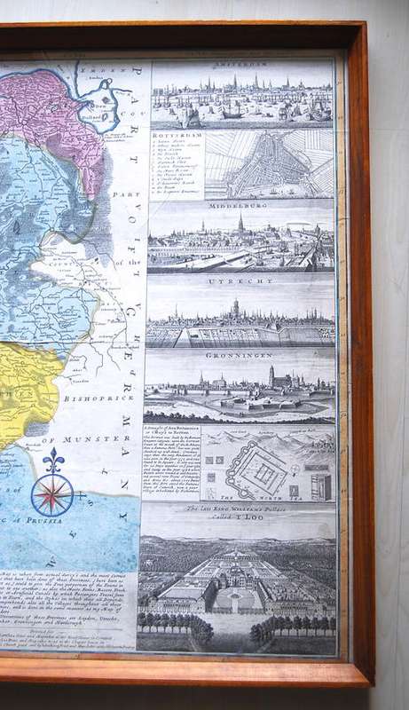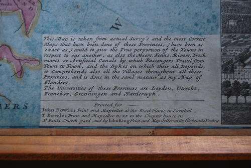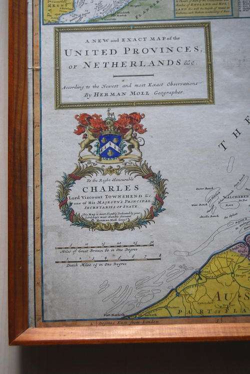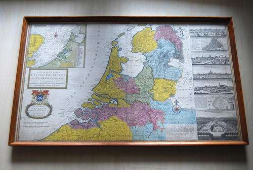
1720`S MAP OF UNITED PROVINCES OF NETHERLANDS BY HERMAN MOLL

1720`S MAP OF UNITED PROVINCES OF NETHERLANDS BY HERMAN MOLL

Secondhand 1 available
R12,799.00
Shipping
R35.00 Standard shipping using one of our trusted couriers applies to most areas in South Africa. Some areas may attract a R30.00 surcharge. This will be calculated at checkout if applicable.
Check my rate
The seller has indicated that they will usually have this item ready to ship within 3 business days. Shipping time depends on your delivery address. The most accurate delivery time will be calculated at checkout, but in general, the following shipping times apply:
 
Standard Delivery
Main centres:  1-3 business days
Regional areas: 3-4 business days
Remote areas: 3-5 business days
Seller
Buyer protection
Get it now, pay later

Product details

Condition
Secondhand
Location
South Africa
Type
Other
Product code
T5.0
Bob Shop ID
646931073


TITLE:   1720'S MAP OF UNITED PROVINCES OF NETHERLANDS BY HERMAN MOLL

DESCRIPTION: FRAMED 107 CM X 65 CM LARGE MAP . HAND PAINTED BEAUTIFUL ANTIQUE MAP

 FEEDBACK: I TYPICALLY WAIT UNTIL ITEM IS RECEIVED BY THE WINNING BIDDER PRIOR TO POSTING FEEDBACK. THIS ALLOWS BOTH PARTIES TIME TO RESOLVE ANY ISSUES THAT MAY ARISE WITH ANY GIVEN TRANSACTION.


Add to cart

Recently viewed

10 Portable Emergency Raincoats
New
R188.00 No bids
50% OFF
For Doogee S98 Pro Charging Port Board
New
R279.00 R557.00
iLuv Mini Portable USB Rechargeable Battery Kit for iPhone 2 3 4 4s iPod Touch
New
R169.99
Army of Lovers : Massive Luxury Overdose : PREOWNED CD
Secondhand
R50.00 No bids

Similar products

1911 PAFURI Map - Union of South Africa / Province of Transvaal
Secondhand
R665.00
Circa 1890 Map of the Nile Provinces, Excellent condition, Original MacKenzie Map
Secondhand
R125.00
National Geographic Folded Map of The United States July 1976
Secondhand
R295.00
French map of The United Provinces Of The Netherlands dated 1702 First edition Ref. MP 11
Secondhand
R3,000.00