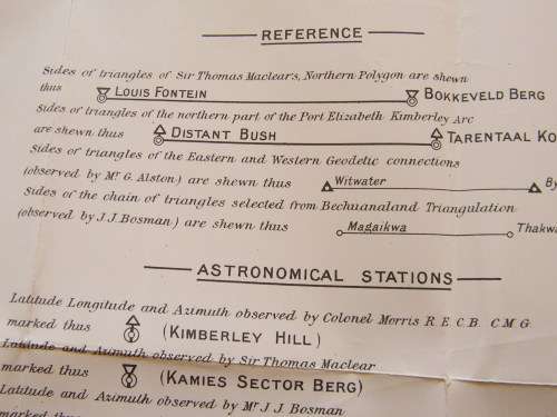
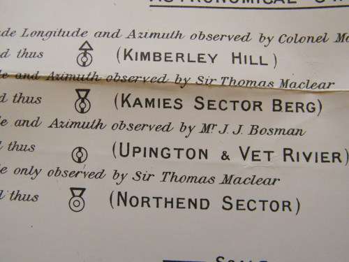
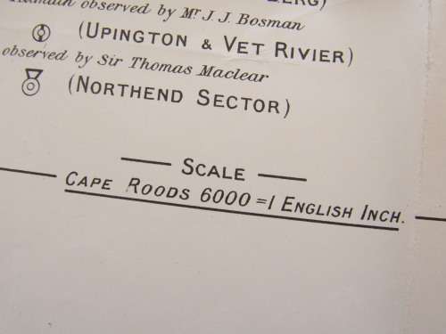
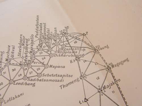
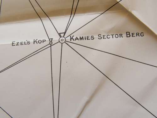
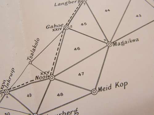
1890`s Bechuanaland Triangulation map covering Northern Cape - Eastern and Western Connections

1890`s Bechuanaland Triangulation map covering Northern Cape - Eastern and Western Connections

Secondhand 1 available
R1.00 minimum increment
R450.00
Shipping
R35.00 Standard shipping using one of our trusted couriers applies to most areas in South Africa. Some areas may attract a R30.00 surcharge. This will be calculated at checkout if applicable.
Check my rate
The seller allows collection for this item. Buyers will receive the collection address and time once the order is ready.
The seller has indicated that they will usually have this item ready to ship within 3 business days. Shipping time depends on your delivery address. The most accurate delivery time will be calculated at checkout, but in general, the following shipping times apply:
 
Standard Delivery
Main centres:  1-3 business days
Regional areas: 3-4 business days
Remote areas: 3-5 business days
Seller
Buyer protection

Product details

Condition
Secondhand
Location
South Africa
Product code
30262A0919
Bob Shop ID
652829417

 (Partly Repaired)

Add to cart

Recently viewed

See more
63% OFF
1Ps Transparent For Samsung Galaxy A52 Phone Cases
New
R332.00 R907.00
For Xiaomi Redmi Note 13 4G OEM Motherboard Flex Cable
New
R215.88
45% OFF
1Pc Black For iPhone 12 Pro Max Trendy Villain Pattern Phone Case
New
R145.00 R263.00
Bling Girl Colour Last Soak Off Gel Polish UV/LED 10ml #062
New
R85.00

Similar products

Eastern Cape Provincial Map - Printed Map
New
R195.00
1922 Map of South Africa - Western Half - Excellent Condition, Original Bartholomew Map Cape Town
Secondhand
R745.00
Vintage Folded Shell Road Map of the Western Cape Province.
Secondhand
R195.00
Northern Cape Provincial Map - Printed and Laminated
New
R395.00