This auction has closed with no winners.
View other items offered by Booktown Richmond1173

Similar products

58% OFF
ORIGINAL map of Vienna dated 1692.Plan de la Ville de Vienne en Austriche et ses Environs SANSON.
Secondhand
R3,780.00 R9,000.00
Sinai Peninsula Katia- Geographical Section, 1913, War Map
Secondhand
R250.00
1905 Map of South Africa Anglo-Boer War, Siege of Ladysmith, Original German Mayer Map
Secondhand
R615.00
Cape Peninsula 1909 War Office Map Digital Download
New
R195.00
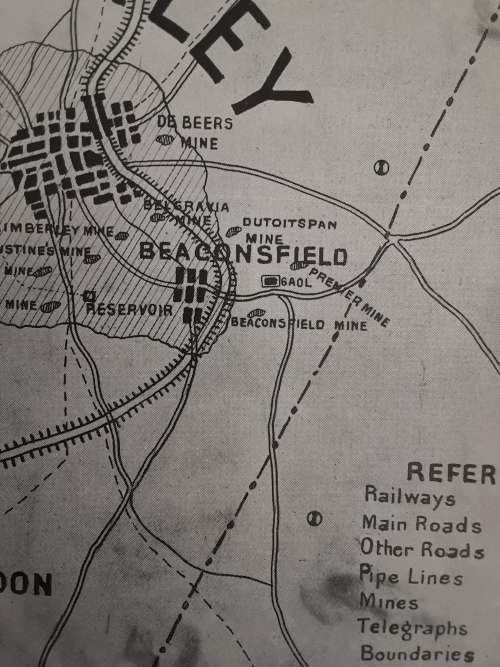
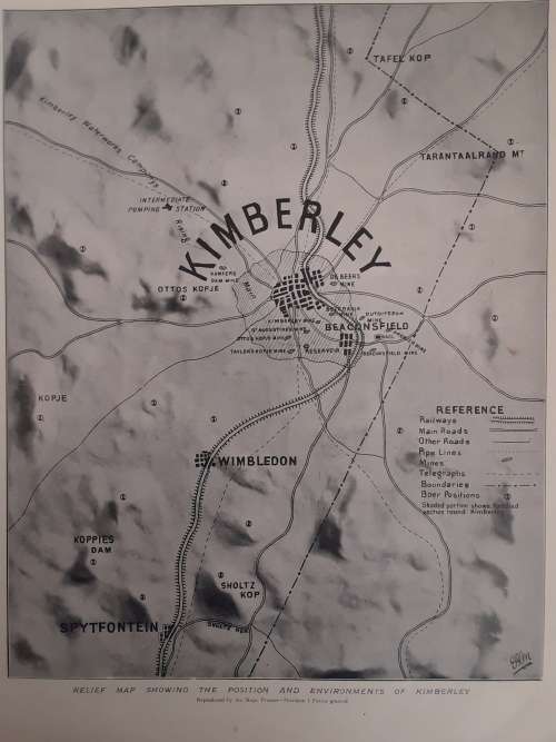
Anglo-Boer War: Relief Map showing the position and environments of Kimberley  1899 Anglo-Boer War: Relief Map showing the position and environments of Kimberley  1899
Closed

Anglo-Boer War: Relief Map showing the position and environments of Kimberley 1899

Secondhand 1 was available
R25.00 minimum increment
R200.00
Shipping
R35.00 Standard shipping using one of our trusted couriers applies to most areas in South Africa. Some areas may attract a R30.00 surcharge. This will be calculated at checkout if applicable.
Check my rate
The seller has indicated that they will usually have this item ready to ship within 3 business days. Shipping time depends on your delivery address. The most accurate delivery time will be calculated at checkout, but in general, the following shipping times apply:
 
Standard Delivery
Main centres:  1-3 business days
Regional areas: 3-4 business days
Remote areas: 3-5 business days
Buyer protection

Product details

Condition
Secondhand
Location
South Africa
Bob Shop ID
477266377

Relief Map showing the position and environments of Kimberley. Size 25x35cm, original, from Black and White Publishing Company, 1899. In good condition.

Postage R60 PAXI or SAPO, we combine postage. See our other low reserve auctions.

Recently viewed

ANDRE P. BRINK - VOOR EK VERGEET - FIRST EDITION
Secondhand
R125.00 No bids