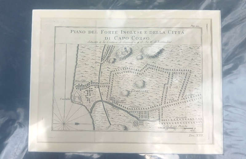
Antique Map of the Fort at Capo Corso, Corsica, 18th Century

Antique Map of the Fort at Capo Corso, Corsica, 18th Century

1 available / secondhand
R550.00
Want to pay less?
Shipping
R35.00 Standard shipping using one of our trusted couriers applies to most areas in South Africa. Some areas may attract a R30.00 surcharge. This will be calculated at checkout if applicable.
Check my rate
The seller allows collection for this item. Buyers will receive the collection address and time once the order is ready.
The seller has indicated that they will usually have this item ready to ship within 2 business days. Shipping time depends on your delivery address. The most accurate delivery time will be calculated at checkout, but in general, the following shipping times apply:
 
Standard Delivery
Main centres:  1-3 business days
Regional areas: 3-4 business days
Remote areas: 3-5 business days
Seller
Buyer protection
Get it now, pay later

Product details

Condition
Secondhand
Location
South Africa
Area
Europe
Time Period
Pre-1800s
Type
Physical Map
Product code
ms
Bob Shop ID
642980389

Antique Map of the Fort at Capo Corso, Corsica, 18th Century, copperplate engraving, original, Italian with mount suitable for framing, 36.7 cms x 30.2 cms, condition: very good.

Image photographed under protective plastic.

Cap Corse is a 40 kilometres (25 mi) long peninsula located at the northern tip of the island. 

Add to cart

Similar products

Antique Map Lithograph Nova Totius Germaniae Descriptio Vintage Map
R2,850.00
Framed Antique Map of Northumberland By Thomas Moule 1836
R1,200.00
56% OFF
1795 original antique map of the Cape of Good Hope
R7,500.00 R17,200.00
1855 Map of Africa, Excellent Condition, Original Antique Map
R235.00