
+8


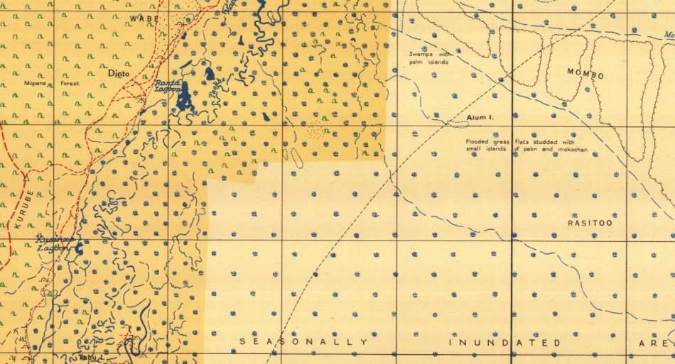


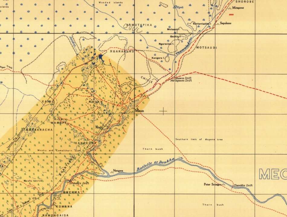
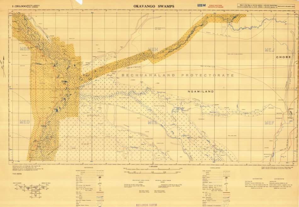
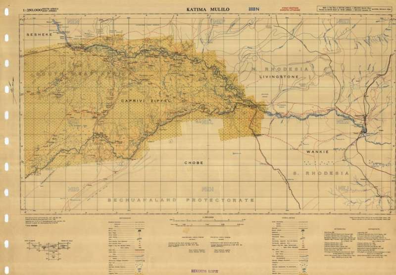
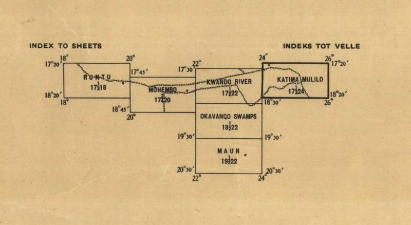
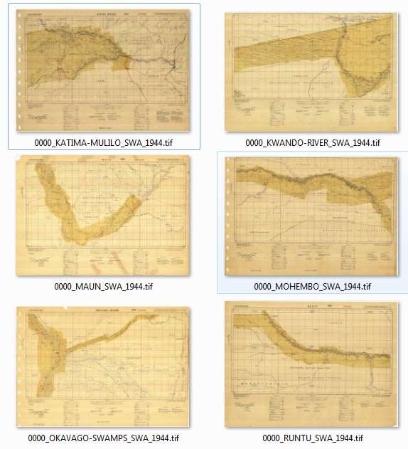
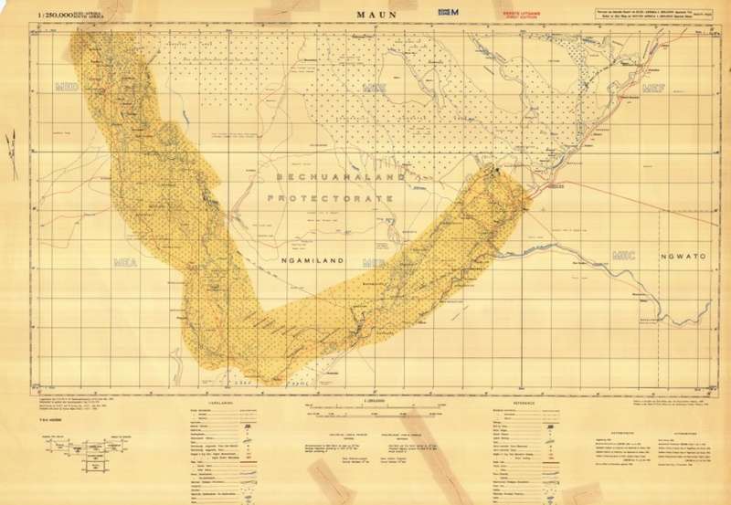
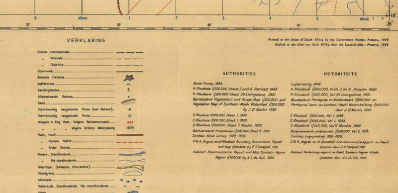
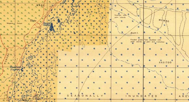
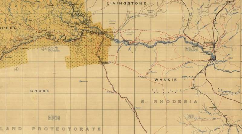
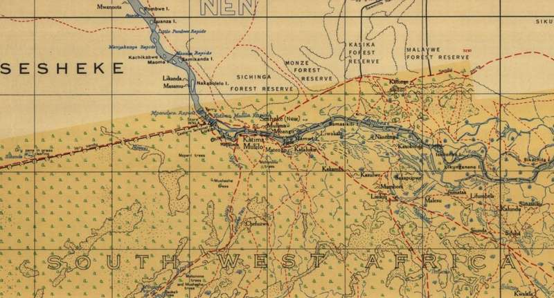
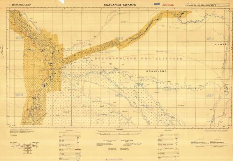
Caprivi Strip and Okavango Delta 1945 6 x Maps Digital Download
Digital product
1 was available / new
Shipping
The seller has indicated that they will usually have this item
ready to ship within 3 business days.
Shipping time depends on your delivery address.
The most accurate delivery time will be calculated at checkout,
but in general, the following shipping times apply:
Standard Delivery
| Main centres: | 1-3 business days |
| Regional areas: | 3-4 business days |
| Remote areas: | 3-5 business days |
Seller
Buyer protection
Returns
Get it now, pay later