



+8
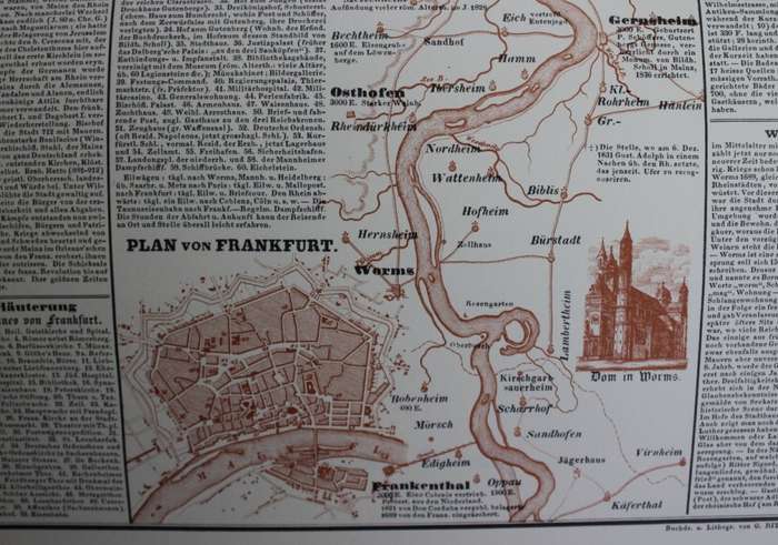
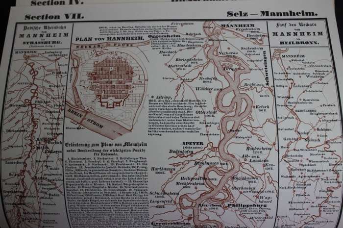
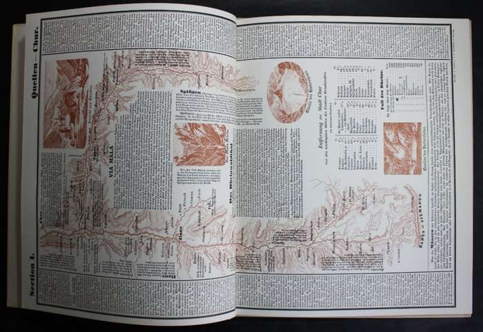
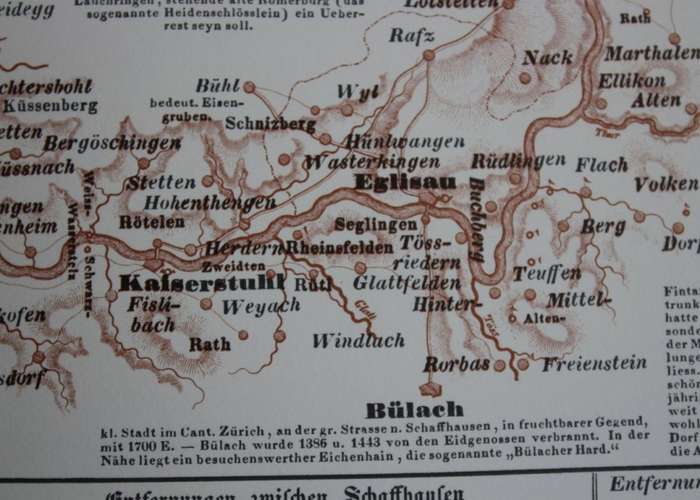
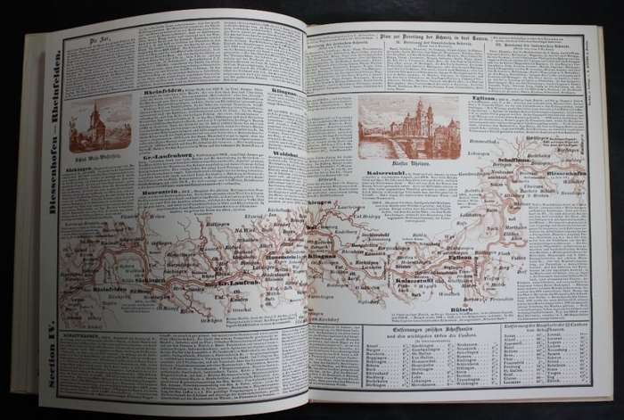
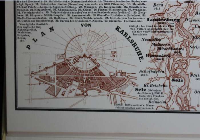
Der Rhein von den Quellen in der Schweiz Topographical Maps Atlas 1976 Reprint from Originals of 184
Shipping
Free shipping is available from CapeCollectables for all orders above R1,500.00, using one of our trusted couriers.
Check my rate
Check my rate
The seller has indicated that they will usually have this item
ready to ship within 3 business days.
Shipping time depends on your delivery address.
The most accurate delivery time will be calculated at checkout,
but in general, the following shipping times apply:
Standard Delivery
| Main centres: | 1-3 business days |
| Regional areas: | 3-4 business days |
| Remote areas: | 3-5 business days |
Seller
Buyer protection
Returns
Get it now, pay later


