Main centres: | 1-3 business days |
Regional areas: | 3-4 business days |
Remote areas: | 3-5 business days |
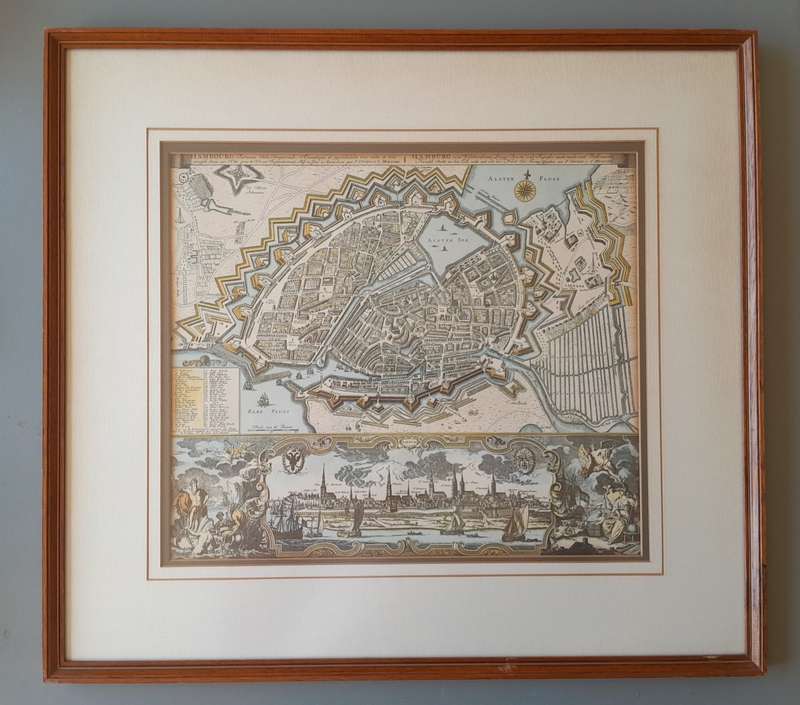
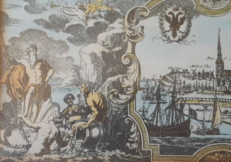
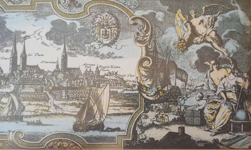
Early Map of 17th/18th Century Hamburg. Framed (53x48cm).
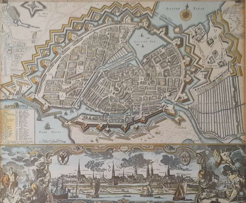
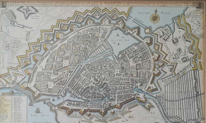
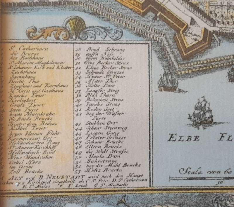
An early map of Hamburg, Germany, depicting the city's historic layout with fortified walls and surrounding waterways. The city is enclosed within star-shaped bastions, a common defensive design in early modern Europe. Streets, canals, and major buildings are detailed, showing the historical urban layout. The upper part of the map includes a compass rose labeled "Alster Flos" and "Alster See," referring to the Alster River and it's connected lake. A lower decorative panel contains an artistic cityscape of Hamburg, featuring church spires, sailing ships, and allegorical figures, enhancing the historical aesthetic. This map appears to be a hand-coloured reproduction of a historical engraving, likely from the 17th or 18th century, showcasing Hamburg as a vital European port city with extensive fortifications. The map is framed and behind non-reflective glass so is well-preserved and ready to hang. Please view images above for more detail.Size (map) : 35.5 x 30.5cm
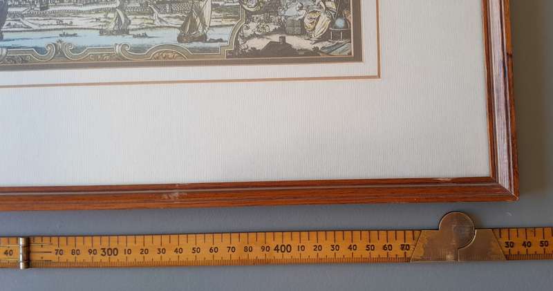
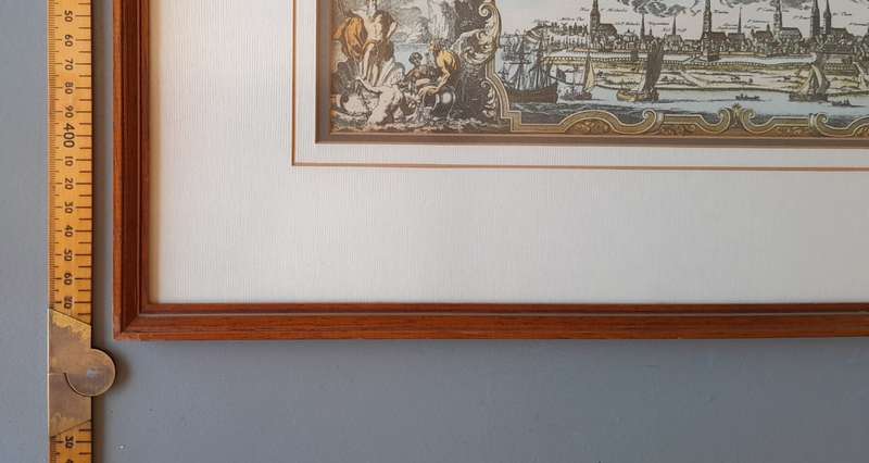
Size (frame) : 53 x 48cm
If you cannot make the end of the auction, feel free to place an auto bid. Payment within 3 days please.
You are welcome to combine items.
I have other items available on the auction. If you would like to view them, simply click on my username.
For International Shipping we use DHL. Before bidding, please contact us for a quote using the "Ask the Seller a Question" function.
Please view the following pictures carefully as they form part of the description: