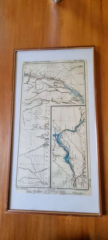
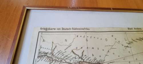
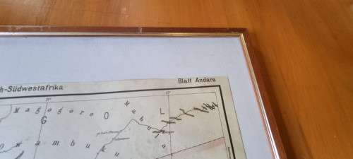

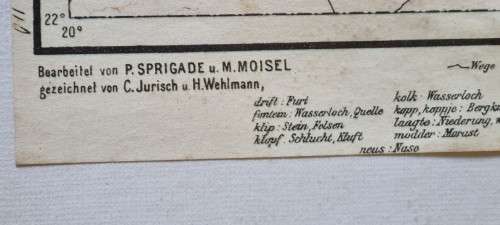
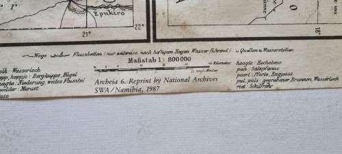
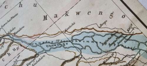


German 1904 War Map of Caprivi area, Kriegskarte von Deutsch-Sudwestafrika. 1987 National Archives
Check my rate
| Main centres: | 1-3 business days |
| Regional areas: | 3-4 business days |
| Remote areas: | 3-5 business days |


| Main centres: | 1-3 business days |
| Regional areas: | 3-4 business days |
| Remote areas: | 3-5 business days |
Here we have a large map of the area in Namibia, then German South-West Africa, around the Caprivi Strip including Andara, Linyanti, part of Botswana. The map was drawn in 1904 by the German authorities then in control of South-West Africa.
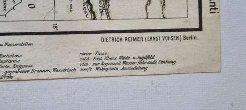
Drawn by Dietrich Reimer and Ernst Vohsen in Berlin from work done by P. Sprigade and M. Moisel. Official title is Kriegskarte von Deutsch-Sudwestafrika. Blatt Andara und Blatt Linjanti.
This map is a reprint as re-issued in 1987 by the National Archives of SWA/Namibia as part of their Archeia 6 series.
Map is overall in very good condition with very minimal foxing in the sea area of the map.
Nicely framed in a solid wooden frame with gilt border. Ready to hang on your wall.
Map is 31.5 cm by 59 cm. Frame is 72.5 cm x 38.5 cm .


