National Geographic Folded Map of The Great Lakes July 1987 National Geographic Folded Map of The Great Lakes July 1987 National Geographic Folded Map of The Great Lakes July 1987 National Geographic Folded Map of The Great Lakes July 1987 National Geographic Folded Map of The Great Lakes July 1987 National Geographic Folded Map of The Great Lakes July 1987 National Geographic Folded Map of The Great Lakes July 1987 National Geographic Folded Map of The Great Lakes July 1987 National Geographic Folded Map of The Great Lakes July 1987 National Geographic Folded Map of The Great Lakes July 1987
National Geographic Folded Map of The Great Lakes July 1987 National Geographic Folded Map of The Great Lakes July 1987 National Geographic Folded Map of The Great Lakes July 1987 National Geographic Folded Map of The Great Lakes July 1987
National Geographic Folded Map of The Great Lakes July 1987
+6

National Geographic Folded Map of The Great Lakes July 1987

1 available / secondhand
R195.00
Shipping
Free shipping is available from CapeCollectables for all orders above R1,500.00, using one of our trusted couriers.
Check my rate
The seller allows collection for this item. Buyers will receive the collection address and time once the order is ready.
The seller has indicated that they will usually have this item ready to ship within 3 business days. Shipping time depends on your delivery address. The most accurate delivery time will be calculated at checkout, but in general, the following shipping times apply:
 
Standard Delivery
Main centres:  1-3 business days
Regional areas: 3-4 business days
Remote areas: 3-5 business days
Seller
Buyer protection
Get it now, pay later

Product details

Condition
Secondhand
Location
South Africa
Area
The Americas
Time Period
Post-1950
Type
Political Map
Product code
8325443
Bob Shop ID
629708188

 Title: National Geographic Folded Map of The Great Lakes July 1987.
Publisher: National Geographic Society, July 1987.
Series: The Making Of America.
Format: Folded Map.
Height: 52 cm.
Width: 69 cm.
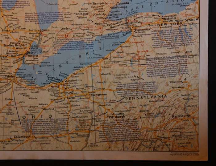
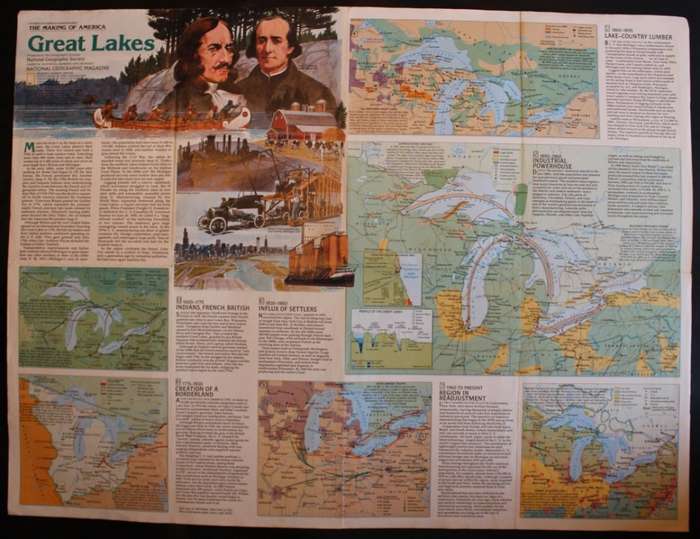
Info: An old map by National Geographic of The Great Lakes Region between the USA and Canada. The map is from "The Making of America" series by National Geographic. The map is full of interesting information of the Great Lakes and the surrounding country. The Reverse of the map has the history and development of the Great Lakes region.
Scale: 1: 2 309 000 / 1 Inch = 36 Miles.
Condition: Very Good, As New, a clean unused Map in excellent condition.
Price: R 195.00 Inc Vat. 


Add to cart

Recently viewed

See more
MARTI WEBB - Sings small screen themes (CD) PWKM 647 NM-
R55.00
Enema Bowel Barrel Enema Bag Device Gesen Coffee Intestine Bowel Hydrotherapy Device with 10 Tube H
R453.00
Hotline – Help - Vinyl LP Record - Very-Good- Quality (VG-) (verygoodminus)
R249.00
SA Army - Attack Diver ` Bronze` Special Forces Proficiency Badges ( Full Size and Mess Dress ) F74
R2,500.00 No bids

Similar products

Large National Geographic Folded Map of The Peoples Republic of China July 1980.
R195.00
National Geographic Folded Map of the Great Lakes Region of America, August 1973.
R155.00
National Geographic Folded Map of Southeast Asia July 2009
R145.00
National Geographic Folded Map Sunken Treasures July 2001
R195.00