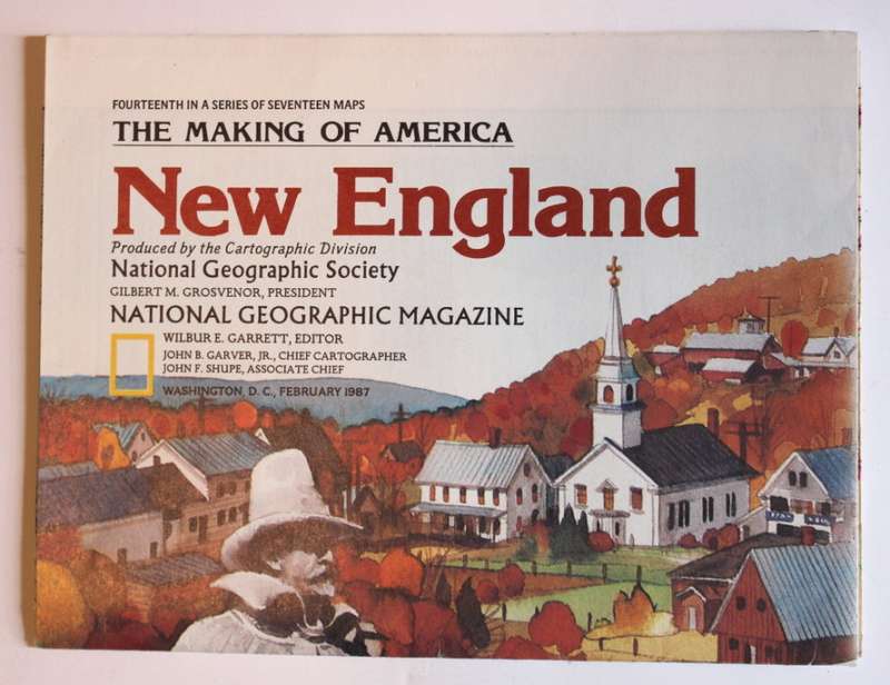
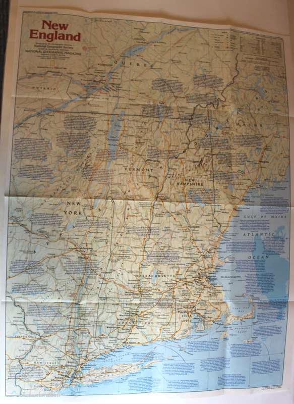
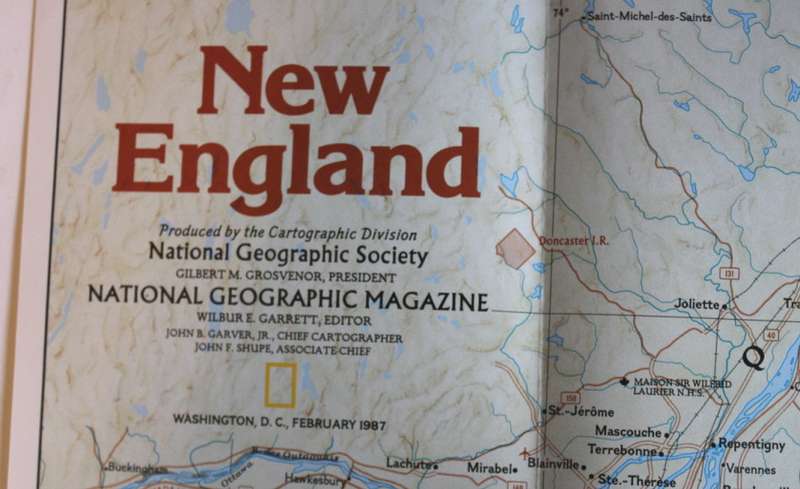
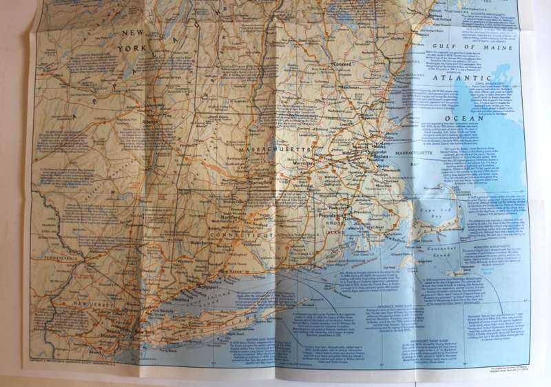
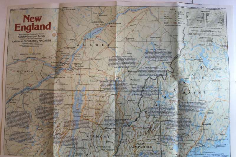
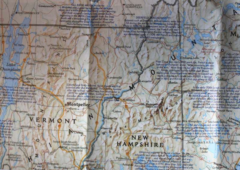
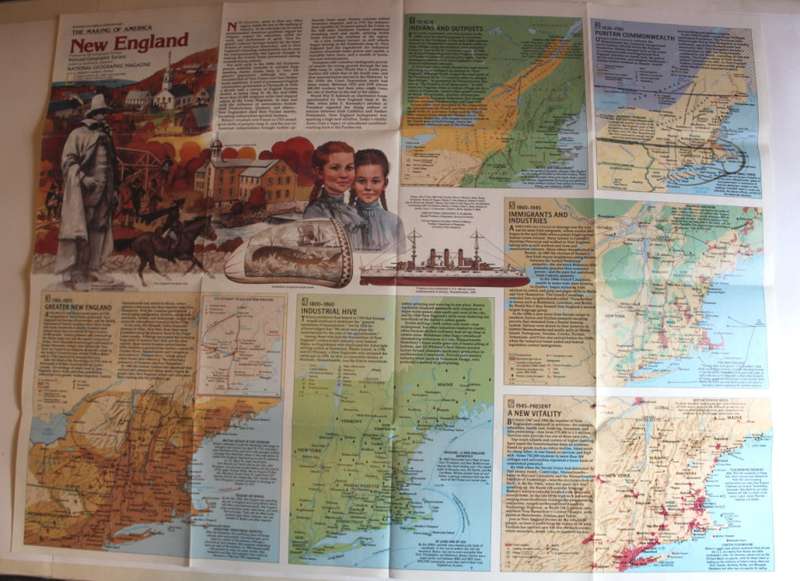
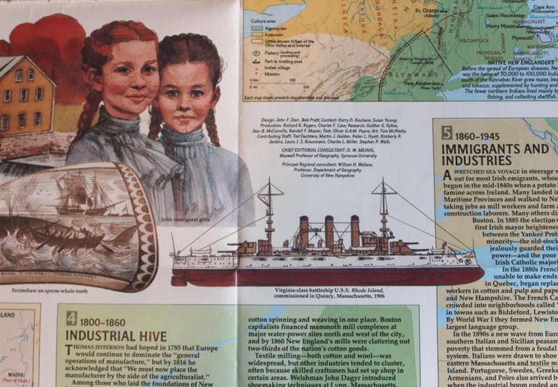
National Geographic Folded Map of New England February 1987 National Geographic Folded Map of New England February 1987 National Geographic Folded Map of New England February 1987 National Geographic Folded Map of New England February 1987 National Geographic Folded Map of New England February 1987 National Geographic Folded Map of New England February 1987 National Geographic Folded Map of New England February 1987 National Geographic Folded Map of New England February 1987 National Geographic Folded Map of New England February 1987 National Geographic Folded Map of New England February 1987
National Geographic Folded Map of New England February 1987 National Geographic Folded Map of New England February 1987 National Geographic Folded Map of New England February 1987 National Geographic Folded Map of New England February 1987
National Geographic Folded Map of New England February 1987
+6

National Geographic Folded Map of New England February 1987

Secondhand 1 available
R195.00
Shipping
Free shipping is available from CapeCollectables for all orders above R1,500.00, using one of our trusted couriers.
Check my rate
The seller allows collection for this item. Buyers will receive the collection address and time once the order is ready.
The seller has indicated that they will usually have this item ready to ship within 3 business days. Shipping time depends on your delivery address. The most accurate delivery time will be calculated at checkout, but in general, the following shipping times apply:
 
Standard Delivery
Main centres:  1-3 business days
Regional areas: 3-4 business days
Remote areas: 3-5 business days
Seller
Buyer protection
Get it now, pay later

Product details

Condition
Secondhand
Location
South Africa
Area
The Americas
Time Period
Post-1950
Type
Political Map
Product code
8326850
Bob Shop ID
630989054

Title: National Geographic Folded Map of New England February 1987.
Publisher: National Geographic Society, February 1987.
Series: The Making Of America.
Format: Folded Map.
Height: 68 cm.
Width: 52 cm.
Info: Large Scale Map of the New England region of USA and Quebec of Canada in the North. Covers Maine, New Hampshire, Massachusetts, Rhode Island, and New York with Long Island in the South. Full of information and historical points of interest. The reverse has the history and development of the area.
Scale: 1: 1 056 000  / 1 Inch = 16.6 Miles.
Condition: Very Good, As New, a clean unused Map in excellent condition.
Price: R 195.00 Inc Vat.


Add to cart

Recently viewed

See more
50% OFF
For Samsung Galaxy A41 / A415 SIM Card Tray + SIM Card Tray + Micro SD Card Tray (White)
New
R153.00 R306.00
Obsidian [Africa] - Round Shape Cabochon - 0.56cts
New
R44.80 No bids
File AFile Flat 2nd Cut 100mm Sleeve
New
R167.00
Cliff Richard - Platinum Collection Triple CD Import
Secondhand
R220.00

Similar products

National Geographic Folded Map of Western New England, America July 1975
Secondhand
R195.00
National Geographic Folded Map of the West Indies and Central America February 1981
Secondhand
R225.00
Vintage National Geographic Folded Map Australia February 1979
Secondhand
R195.00
National Geographic Folded Map of Indonesia February 1996
Secondhand
R175.00