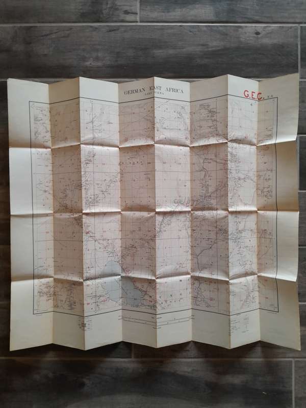
German East Africa - Lake Rukwa - E3 - Scale 1:300,000 Folding Canvas-Backed Map German East Africa - Lake Rukwa - E3 - Scale 1:300,000 Folding Canvas-Backed Map

German East Africa - Lake Rukwa - E3 - Scale 1:300,000 Folding Canvas-Backed Map

Secondhand 1 available
R1,200.00
Shipping
R35.00 Standard shipping using one of our trusted couriers applies to most areas in South Africa. Some areas may attract a R30.00 surcharge. This will be calculated at checkout if applicable.
Check my rate
The seller has indicated that they will usually have this item ready to ship within 7 business days. Shipping time depends on your delivery address. The most accurate delivery time will be calculated at checkout, but in general, the following shipping times apply:
 
Standard Delivery
Main centres:  1-3 business days
Regional areas: 3-4 business days
Remote areas: 3-5 business days
Seller
Buyer protection
Get it now, pay later

Product details

Condition
Secondhand
Location
South Africa
Area
Africa
Time Period
1900-1950
Type
Political Map
Product code
30454
Bob Shop ID
647944269

Good condition, no tears, foxing externally, 850mm x 710mm, colour.

Add to cart

Recently viewed

KSM-440ACM for Sony PS1 Laser Lens Repair Parts
New
R494.03
50% OFF
1pc Elegant White Lace Kitchen Curtain with Vibrant Red Floral Embroidery Semi-Transparent Rod Pocke
New
R205.00 R410.00

Similar products

GERMAN EAST AFRICA MAHENGE MAP GFE F5 CIRCA 1916
Secondhand
R1,500.00
1905 Map of Africa, Excellent condition, Original German Mayer Map Showing Expeditions
Secondhand
R395.00
National Geographic Folded Map of Europe and the Near East June 1949
Secondhand
R295.00
The Shell Tourist Map of Kgalagadi (2004) - Veronica Roodt (Scale 1:400 000)
Secondhand
R44.34