Jeppe`s Transvaal 1899 6 x Maps Digital Download Jeppe`s Transvaal 1899 6 x Maps Digital Download Jeppe`s Transvaal 1899 6 x Maps Digital Download Jeppe`s Transvaal 1899 6 x Maps Digital Download Jeppe`s Transvaal 1899 6 x Maps Digital Download Jeppe`s Transvaal 1899 6 x Maps Digital Download Jeppe`s Transvaal 1899 6 x Maps Digital Download Jeppe`s Transvaal 1899 6 x Maps Digital Download Jeppe`s Transvaal 1899 6 x Maps Digital Download Jeppe`s Transvaal 1899 6 x Maps Digital Download Jeppe`s Transvaal 1899 6 x Maps Digital Download
Jeppe`s Transvaal 1899 6 x Maps Digital Download Jeppe`s Transvaal 1899 6 x Maps Digital Download Jeppe`s Transvaal 1899 6 x Maps Digital Download Jeppe`s Transvaal 1899 6 x Maps Digital Download
Jeppe`s Transvaal 1899 6 x Maps Digital Download
+7

Jeppe`s Transvaal 1899 6 x Maps Digital Download

Digital product
New 1 available
Only 1 left – grab it before it’s gone!
R425.00
Shipping
This is a digital product (eg. voucher, product license, service, etc.) and does not require shipping. The seller will be in contact to deliver this product to you electronically.
The seller has indicated that they will usually have this item ready to ship within 3 business days. Shipping time depends on your delivery address. The most accurate delivery time will be calculated at checkout, but in general, the following shipping times apply:
 
Standard Delivery
Main centres:  1-3 business days
Regional areas: 3-4 business days
Remote areas: 3-5 business days
Seller
Buyer protection
Get it now, pay later

Product details

Condition
New
Location
South Africa
Area
Africa
Time Period
1800s
Type
Political Map
Product code
8326247
Bob Shop ID
653854879

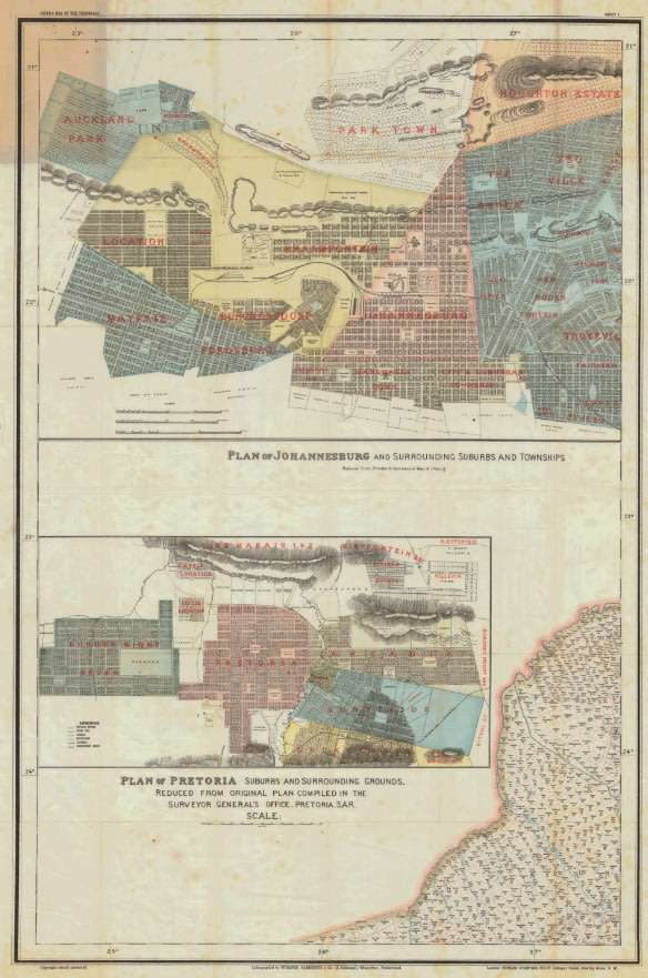
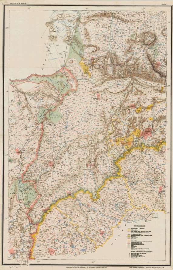
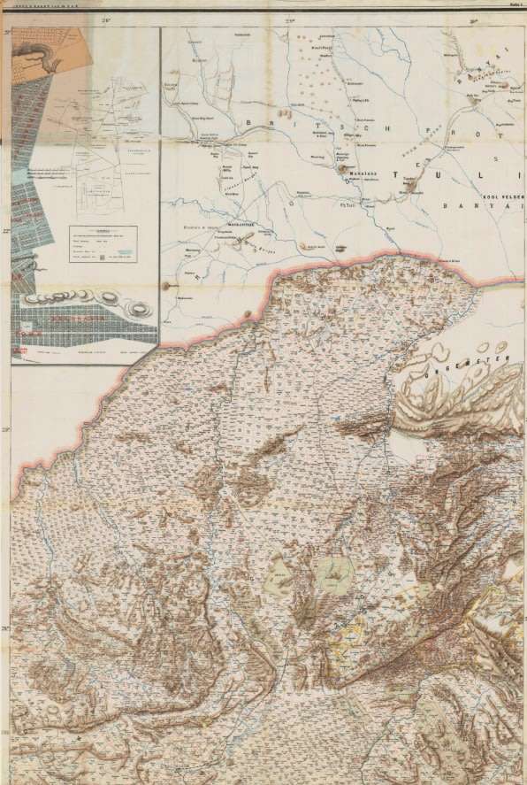
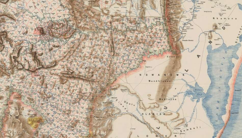
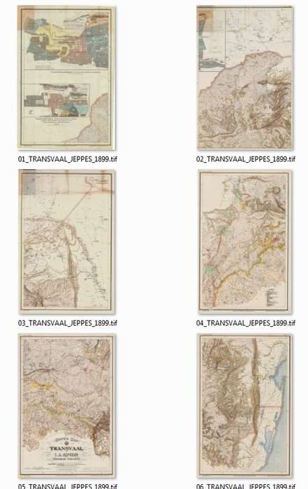
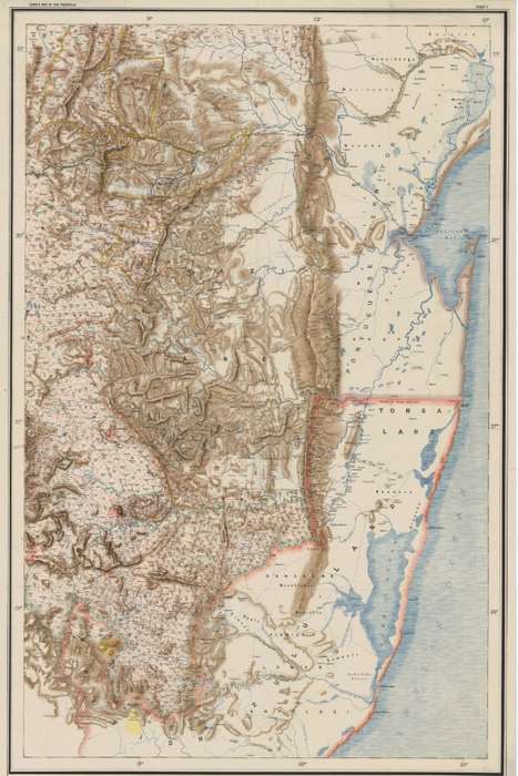
Title: Jeppe's Transvaal 1899 6 x Maps Digital Download.
Publisher: Surveyor Generals Office, Pretoria, SA Republic, 1899.
Format: Vintage Printed Maps that have been scanned and saved as Tiff images.
Printed Size on a large format printer would be as follows:-
Height: @ 100cm.
Width: 70cm.
File Size: Total of 225MB
Total Number of Files: 6 x Tiff images @ 30 to 40MB MB each
Info: Compiled from Surveys filed in the Survey Generals Office by Fred Jeppe Hon C.M.R.G.S of The Survey Generals Department and CFW Jeppe of the Mining Department.
Johan Rissik ESQ, Surveyor General of the SAR for Information and Advice.
One of a series of maps completed by the Jeppe Brothers of the South African Boer Republic of the Transvaal,
in the 1890's, prior to the Boer War. Contains Railways, Rivers, Roads, Towns and Cities with Erfs and Farm information of the whole of the Transvaal in 1899.
Scale: 1: 476 000
On completion of the order and receipt of payment a WeTransfer link will be forwarded to your e-mail address for downloading of the files.
Condition: Digital Download.
Price: R 425.00 Inc Vat.

 
Add to cart

Recently viewed

See more
Tail Gate Tailgate Handle Bezel Trim for 1999-2007 Chevy Silverado
New
R338.00
FUSE AUTOMOTIVE SOCKET 20A ALF20 *D*
New
R10.79
Turn Signal Combination Control Switch Signal Wiper for Nrr Npr W4500 W5500 8973640740
New
R685.00
Flyer 1/100 Scale Constructo 80615
New
R2,050.00

Similar products

Plan of Pretoria and Johannesburg From Jeppes Map of the Transvaal 1899, Reproduction Print
Secondhand
R295.00
Jeppes Map Of The Transvaal 1899, Reproduction Print Wall Map Central Tvl
Secondhand
R295.00
Australia Map 1968 by National Mapping Digital Download
New
R195.00
Caprivi Strip and Okavango Delta 1945 6 x Maps Digital Download
New
R355.00