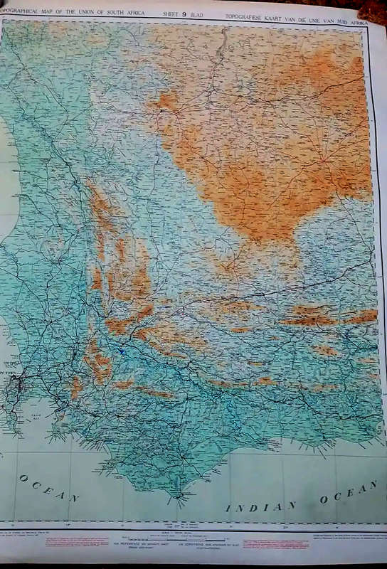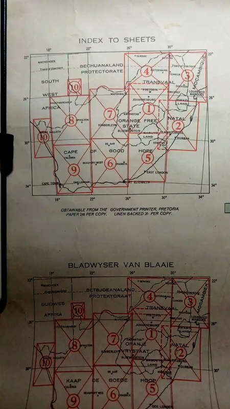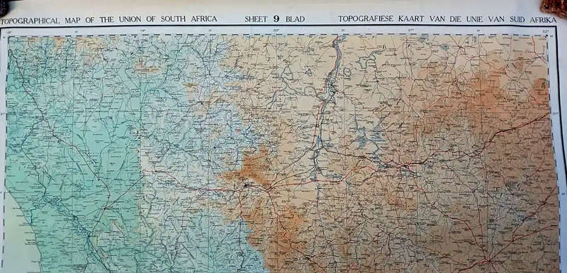


Map of The Union of South Africa - 10 large sheets (1935-7) - complete
Check my rate
| Main centres: | 1-3 business days |
| Regional areas: | 3-4 business days |
| Remote areas: | 3-5 business days |


| Main centres: | 1-3 business days |
| Regional areas: | 3-4 business days |
| Remote areas: | 3-5 business days |
Topographical Map of The Union of South Africa , 1935-7, 1:500,000, original, 10 large sheets (each sheet - 111 cms x 99 cms) , also key sheets, textured cotten backings (for strength), complete, condition: very good.
Surveyed, completed & drawn in the Office of Irrigation (AD Lewis - Director of Irrigation) , Pretoria, 1935-7.
"Something needed to be done urgently and the only solution appeared to be to produce a topographic map series on a reasonably small scale within a fairly short period. This task was undertaken by A D Lewis, the then Director of Irrigation, and from 1934 to 1937 the surveyors of his Department mapped South Africa on the scale 1:500 000. This series, which consisted of 10 sheets was to be of inestimable value especially as it was produced just before World War II. For many years these sheets were to be the only accurate topographic maps available of large parts of the country."
"I had had enough of faulty maps by now. The crocs and sharks of St Lucia converted me and first thing I did on my return was to tell Mr Lewis to go ahead. We enlisted the co-operation of nearly every land surveyor in the Union and they responded with enthusisam. Thanks to their field notes the Irrigation Department built up the present topographical sheets without which, no airman goes aloft. It cost 85,000 pounds, but today with air training centres all over the country, flying by day and night, I like to think that Mr Lewis and I between us, with our map, have prevented many a crash and that we have saved many lives. Had it not been for his representations and for those uneasy moments over St Lucia lake our airmen and pilots would still be flying by charts torn out of a schoolboy's atlas."
Deneys Reitz (Minister of Agriculture and Irrigation, 1934-39) & author of No Outspan / Adrift on the Open Veld, the Deneys Reitz trilogy,