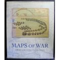
Maps Of War by Ashley and Miles Baynton-Williams
Secondhand
Shipping
Standard courier shipping from R30
R30 Standard shipping using one of our trusted couriers applies to most areas in South Africa. Some areas may attract a R30 surcharge. This will be calculated at checkout if applicable.
Check my rate
Check my rate
Free collection from
Kuils River, Cape Town
The seller allows collection for this item and will be in contact with the full collection address once the order is ready.
Ready for collection by Wednesday, 15 May.
Ready to ship in
The seller has indicated that they will usually have this item
ready to ship within 3 business days. Shipping time depends on your delivery address. The most
accurate delivery time will be calculated at checkout, but in
general, the following shipping times apply:
Standard Delivery
| Main centres: | 1-3 business days |
| Regional areas: | 3-4 business days |
| Remote areas: | 3-5 business days |
Buyer Protection
How you're covered
Get it now, pay later
Returns
Product information
Condition:
Secondhand
Location:
South Africa
Bob Shop ID:
612591025
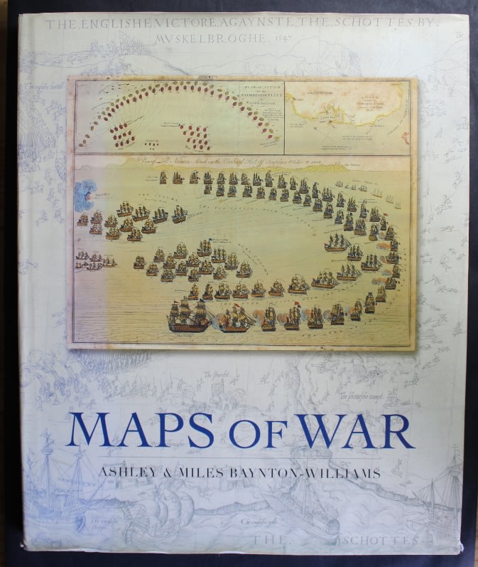
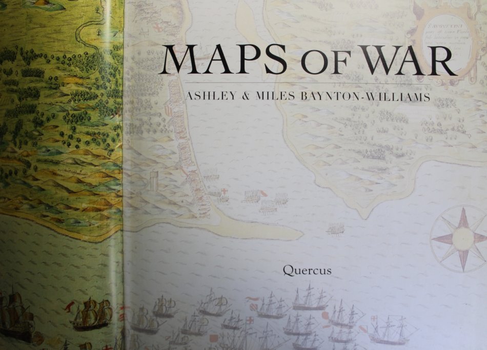
Title: Maps Of War by Ashley and Miles Baynton-Williams
Author: Ashley and Miles Baynton-Williams
Publisher: Quercus Publishing 2007.
Format: Large Hard Cover Book, 223 pages with Dust Jacket.
Size: H 44cm / W 36cm / T 3cm
Condition: As New.
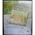
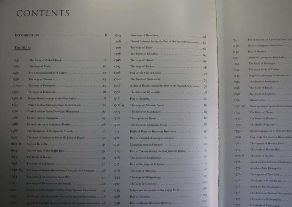
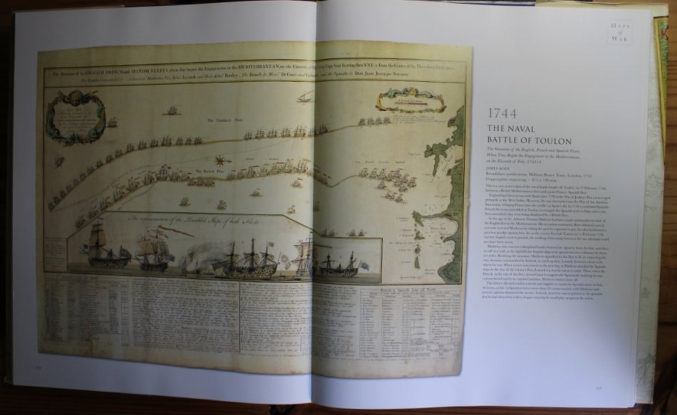
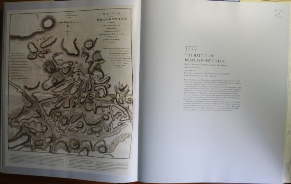
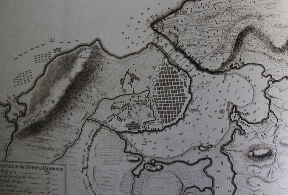
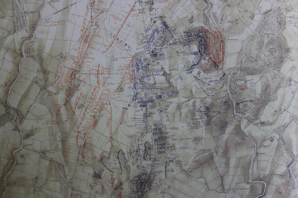
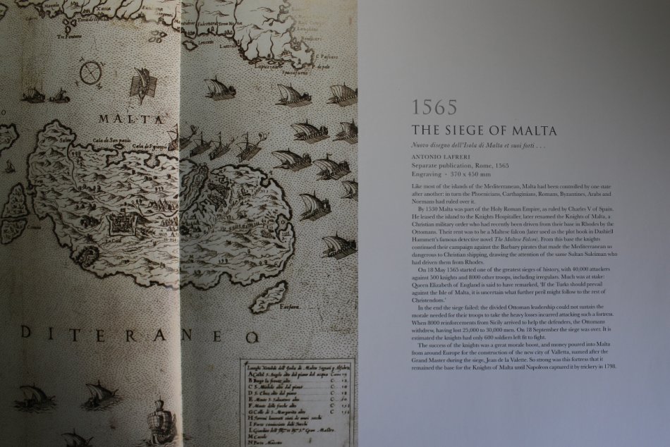
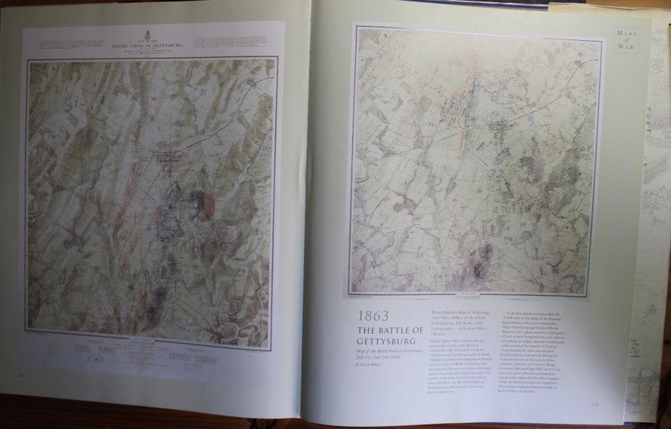
Gaze across historys bloodiest battlefields, as beautifully realized by the cartographers of the time. From the depiction of the battle of
Pinkie Cleugh between England and Scotland in 1547the earliest map printed in the British Islesto chartings of the American War of Independence, and from plans of the advance of the British fleet at the Battle of Trafalgar to the trench maps of World War I, this unique collection highlights the extraordinary influence cartography has had on the nature of warfare.
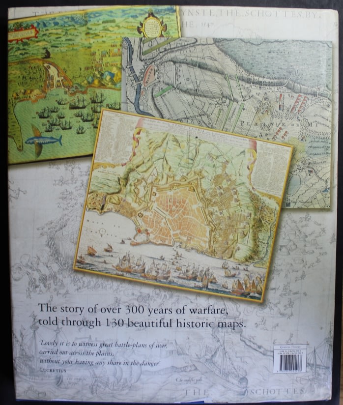
Each illustration is accompanied by an extended caption on the background to the war, including the planning and conduct of the battle in question.
Whether the map was used to plan a military campaign, or drawn just after the event to record the conflict, each provides a fascinating piece of military history, and brings the drama of the battle to life.
This giant book not only allows these important cartographical documents to be showcased, but also provides a captivating illustrated history of the last 500 years of warfare.
A large book (44cm high!), profusely-illustrated guide to printed battle maps published contemporary to the events they describe, from the Battle of Pinkie Cleugh in 1547 to the Boer war at the end of the C19th. Conflicts on land and sea include Drake's raids in the Americas, the Spanish Armada, the Jacobite Rebellion, the American War of Independence, the Napoleonic Wars, with Nelson's victories at the Battle of the Nile and Trafalgar, the Crimean War and the American Civil War.
Condition: Very Good, As New.
Price: R 875.00 Inc Vat.