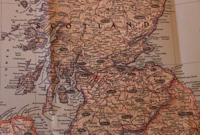
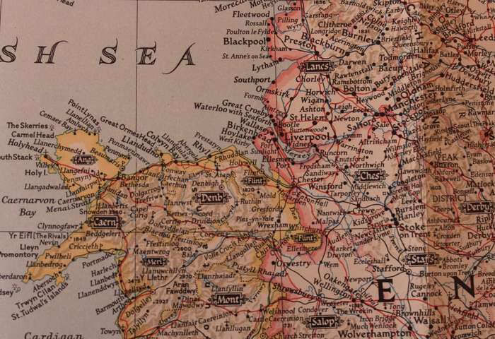
National Geographic Folded Map of The British Isles April 1949 National Geographic Folded Map of The British Isles April 1949 National Geographic Folded Map of The British Isles April 1949 National Geographic Folded Map of The British Isles April 1949 National Geographic Folded Map of The British Isles April 1949 National Geographic Folded Map of The British Isles April 1949 National Geographic Folded Map of The British Isles April 1949 National Geographic Folded Map of The British Isles April 1949 National Geographic Folded Map of The British Isles April 1949 National Geographic Folded Map of The British Isles April 1949 National Geographic Folded Map of The British Isles April 1949 National Geographic Folded Map of The British Isles April 1949 National Geographic Folded Map of The British Isles April 1949
National Geographic Folded Map of The British Isles April 1949 National Geographic Folded Map of The British Isles April 1949 National Geographic Folded Map of The British Isles April 1949 National Geographic Folded Map of The British Isles April 1949
National Geographic Folded Map of The British Isles April 1949
+9

National Geographic Folded Map of The British Isles April 1949

1 available / secondhand
R395.00
Shipping
Free shipping is available from CapeCollectables for all orders above R1,500.00, using one of our trusted couriers.
Check my rate
The seller allows collection for this item. Buyers will receive the collection address and time once the order is ready.
The seller has indicated that they will usually have this item ready to ship within 3 business days. Shipping time depends on your delivery address. The most accurate delivery time will be calculated at checkout, but in general, the following shipping times apply:
 
Standard Delivery
Main centres:  1-3 business days
Regional areas: 3-4 business days
Remote areas: 3-5 business days
Seller
Buyer protection
Get it now, pay later

Product details

Condition
Secondhand
Location
South Africa
Area
Europe
Time Period
1900-1950
Type
Political Map
Product code
8325714
Bob Shop ID
629935082

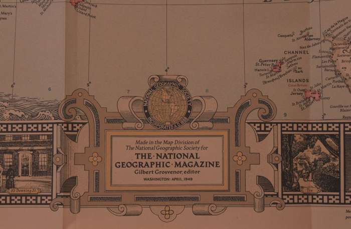
Title: National Geographic Folded Map of The British Isles April 1949
Publisher: National Geographic Society, April 1949.
Format: Folded Map.
Height: 81cm.
Width:  66cm.
Scale: 1 Inch = 28.2 Miles.
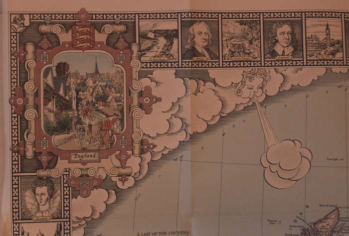
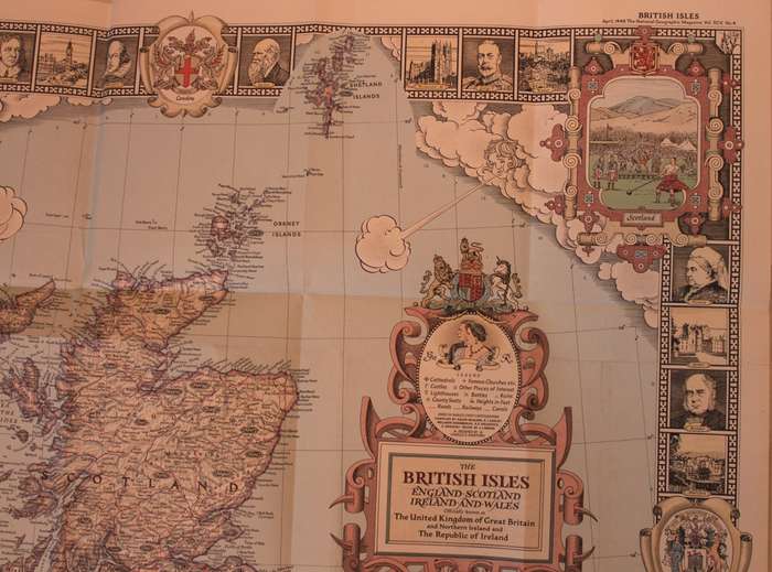
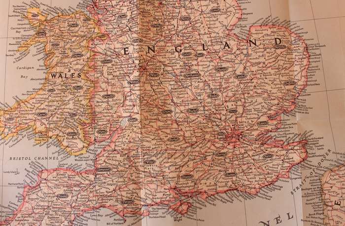
Info: A folded map of The British Isles, with England, Scotland, Wales and Ireland with surrounding cartouches and images of famous figures from the past and scenes from around the Isles. Charming Country scenes in each corner and vintage style drawings and designs abound. The Map includes easily identifiable County Names.
The Reverse of the Map is blank.
Condition: Very Good, unmarked and unused, the left edge of the map has been trimmed to fit into the Book from 1949.
Price: R 395.00 Inc Vat.


Add to cart

Recently viewed

See more
Home Button Flex Cable with Fingerprint Identification for iPad Air 2 / iPad 6 (Black)
R236.00
'n Heildronk op die Hantam. E Calitz en M Collen.
R150.00
Zapiro - Call Mr Delivery
R49.00
DIANDI MODERN STYLISH DESKTOP MINI FAN
R99.00

Similar products

National Geographic Folded Map of The Balkans 1999
R155.00
National Geographic A Travelers Map of the British Isles Poster Wall Map 1974
R295.00
National Geographic Folded Map of the Alps April 1985
R195.00
National Geographic Folded Map of Ireland and Northern Ireland April 1981
R155.00