Welcome to Bracoldan inc..
All courses/eBooks are sent digitally via email. Once payment has been received your order will be sent within 48 Hours.
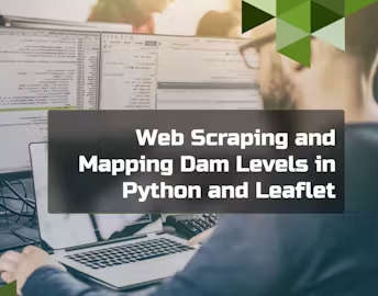
The power of Python and Leaflet to scrape web data and create dynamic, interactive maps? In our "Web Scraping and Mapping Dam Levels in Python and Leaflet" course, you'll embark on a transformative journey to collect, visualise, and map dam levels, gaining valuable skills that blend programming and cartography.
Course Highlights:
Introduction to Web Scraping and Mapping
Gain an understanding of the course and its significance in the realms of data acquisition and visualisation.
Learn the importance of web scraping and mapping in real-world applications.
Explore the goals of mapping dam water levels and the tools you'll use to achieve them.
Web Scraping with Python
Dive into web scraping techniques using Python, a versatile and powerful programming language.
Understand web scraping ethics, practices, and tools for extracting data from websites.
Data Preprocessing and Transformation
Learn the art of cleaning and preparing scraped data for analysis and visualisation.
Explore data transformation techniques to make the data suitable for mapping.
Work with real-world dam-level data and practice data manipulation.
Introduction to Leaflet and Mapping
Discover Leaflet, an open-source JavaScript library for creating interactive maps.
Learn the cartography basics and a web map's key elements.
Begin your journey in web mapping by creating a simple map with Leaflet.
Advanced Mapping Techniques
Explore advanced mapping techniques, such as overlaying multiple data layers.
Add interactivity to your maps, enabling users to explore dam water levels visually.
Incorporate geospatial analysis concepts to derive deeper insights from mapped data.