This item has closed with no items sold
View other items offered by cape restorer137

Similar products

MAP - ALEXANDER BAY - Ref 2816 - Topographical edition 1980 1 : 250,000
R750.00
Free shipping
1859 North West Germany Map by Edward Weller- Has a tear in the bottom and top middle
R4,899.99
The Shell Tourist Map of Botswana (Guide and Map) - Veronica Roodt (Scale 1:400 000)
R44.25
National Geographic Folded Map Of The North West United States June 1950
R295.00
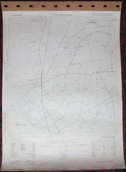
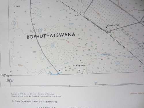
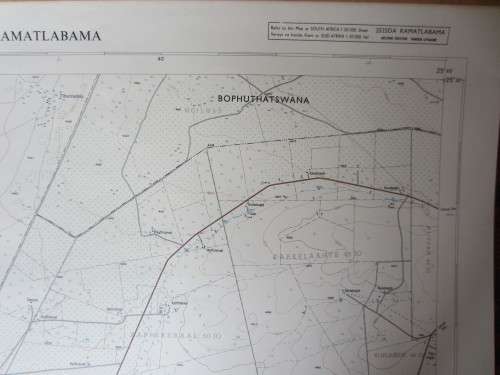
Trig Survey Map of Ramatlabama (North West Province) 2525DA - Scale 1:50 000 - 1980 Trig Survey Map of Ramatlabama (North West Province) 2525DA - Scale 1:50 000 - 1980 Trig Survey Map of Ramatlabama (North West Province) 2525DA - Scale 1:50 000 - 1980
Closed

Trig Survey Map of Ramatlabama (North West Province) 2525DA - Scale 1:50 000 - 1980

1 was available / secondhand
R155.00
Shipping
R35.00 Standard shipping using one of our trusted couriers applies to most areas in South Africa. Some areas may attract a R30.00 surcharge. This will be calculated at checkout if applicable.
Check my rate
There are various locker and counter collection points across South Africa.
View locations
The seller allows collection for this item. Buyers will receive the collection address and time once the order is ready.
The seller has indicated that they will usually have this item ready to ship within 3 business days. Shipping time depends on your delivery address. The most accurate delivery time will be calculated at checkout, but in general, the following shipping times apply:
 
Standard Delivery
Main centres:  1-3 business days
Regional areas: 3-4 business days
Remote areas: 3-5 business days
Buyer protection
Get it now, pay later

Product details

Condition
Secondhand
Location
South Africa
Area
Africa
Time Period
Post-1950
Bob Shop ID
620744196

Trigonometric survey map of Ramatlabama, (border post between South Africa & Botswana, North West Province). 2525DA. 1:50 000. 

Published and published by the Government Printer, Pretoria, 1980. Second Edition.

Measurements:  78 x 58 cm

Condition: Very good condition.


Recently viewed

See more
THE MOB SQUAD DVD [BBOX 5]
R35.00
Samsung 10.2 Kg Top Loader WA10CG4545BYFA
R8,499.00
8% OFF
Tuff-Luv Essentials Leather Folio Case for Samsung S22 Plus - Black MF1005
R220.00 R240.00
Free shipping
Two-Layer Wide Wooden Shoe Rack
R1,372.00 No bids