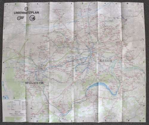
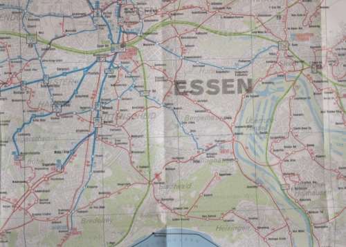
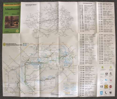
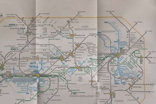
Verbundliniennetz Essen and Mulheim  a.d. Ruhr, Folded Map 1987 Verbundliniennetz Essen and Mulheim  a.d. Ruhr, Folded Map 1987 Verbundliniennetz Essen and Mulheim  a.d. Ruhr, Folded Map 1987 Verbundliniennetz Essen and Mulheim  a.d. Ruhr, Folded Map 1987 Verbundliniennetz Essen and Mulheim  a.d. Ruhr, Folded Map 1987 Verbundliniennetz Essen and Mulheim  a.d. Ruhr, Folded Map 1987 Verbundliniennetz Essen and Mulheim  a.d. Ruhr, Folded Map 1987
Verbundliniennetz Essen and Mulheim  a.d. Ruhr, Folded Map 1987 Verbundliniennetz Essen and Mulheim  a.d. Ruhr, Folded Map 1987 Verbundliniennetz Essen and Mulheim  a.d. Ruhr, Folded Map 1987 Verbundliniennetz Essen and Mulheim  a.d. Ruhr, Folded Map 1987
Verbundliniennetz Essen and Mulheim  a.d. Ruhr, Folded Map 1987
+3

Verbundliniennetz Essen and Mulheim a.d. Ruhr, Folded Map 1987

Secondhand 1 available
R95.00
Shipping
Free shipping is available from CapeCollectables for all orders above R1,500.00, using one of our trusted couriers.
Check my rate
The seller allows collection for this item. Buyers will receive the collection address and time once the order is ready.
The seller has indicated that they will usually have this item ready to ship within 3 business days. Shipping time depends on your delivery address. The most accurate delivery time will be calculated at checkout, but in general, the following shipping times apply:
 
Standard Delivery
Main centres:  1-3 business days
Regional areas: 3-4 business days
Remote areas: 3-5 business days
Seller
Buyer protection
Returns
Money-Back Guarantee: 7 Days: Excludes Cost Of Return Shipping
Get it now, pay later

Product details

Condition
Secondhand
Location
South Africa
Area
Europe
Time Period
Post-1950
Type
Road Map
Product code
8325899
Bob Shop ID
630055687

Title: Verbundliniennetz Essen and MulheimĀ  a.d. Ruhr, Folded Map 1987.
Publisher: Verkehrsverbund Rhein-Rhur, May 1987.
Format: Folded Map.
Height: 52 cm.
Width: 62 cm.
Info: Transport Network of the Essen and Mulheim an der Ruhr areas in the 1980's. A map showing road and rail networks, great for the Railway and Transport enthusiasts. The reverse has a Rail and Bus network diagram of the region.
Scale: 1: 40 000 // 2.5 cm = 1 Km.
Condition: Very Good, unused, clean and unmarked, no tears or faults on the map.
Price: R 95.00 Inc Vat.


Add to cart

Recently viewed

See more
9% OFF
Clinton, James Patterson, Bill - The President Is Missing (James Patterson, Bill Clinton)
Secondhand
R99.00 R109.00
44% OFF
Small Store Success - Ruth Pittman
Secondhand
R100.00 R180.00
Possum (DVD)
New
R209.00
SADF - Warrant Officer Rank Pair
Secondhand
R30.00 No bids

Similar products

National Geographic Folded Map of New England February 1987
Secondhand
R195.00
Large Folded Wall Map of Thailand.
Secondhand
R195.00
Map Studio 2nd Edition Southern Africa Folded Map
Secondhand
R95.00
National Geographic Folded Map of the West Indies Nov 1987.
Secondhand
R195.00