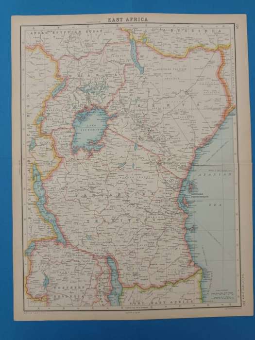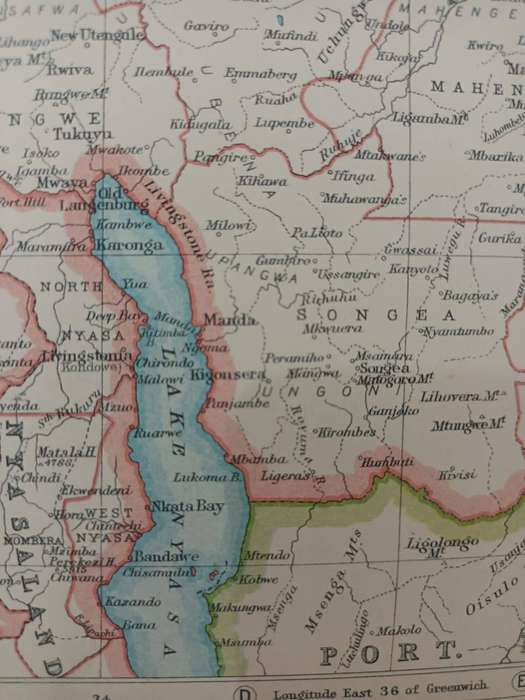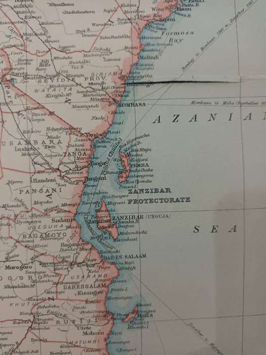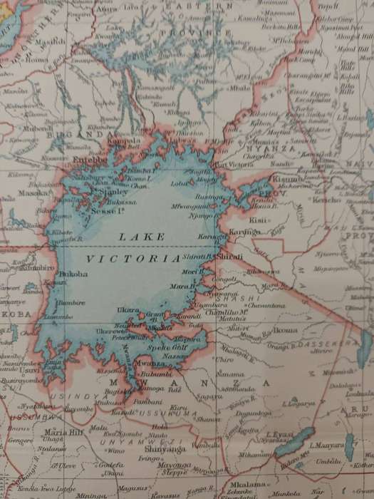


Map of East Africa, 1924: Kenya, Uganda, Tanganyika, etc.
Check my rate
| Main centres: | 1-3 business days |
| Regional areas: | 3-4 business days |
| Remote areas: | 3-5 business days |


| Main centres: | 1-3 business days |
| Regional areas: | 3-4 business days |
| Remote areas: | 3-5 business days |
East Africa, political map of East Africa at the height of the British Empire's influence. Most of the countries represented on this map were under British domination (hence the pink borders).
East Africa saw some ferocious fighting during the First World War, which ended just six years before this map was printed. Many South Africans fought here under General Smuts.
Condition: There is a tear (without loss) along the central fold. Otherwise in very good condition.
Large map, measuring 45 x 36 cm, including narrow margins.
Extracted from The Citizen's Atlas of the World, published in Edinburgh by John Bartholemew & Son, in 1924.
A real time capsule from the early post-World-War-One period.
Framed, this detailed map would look great in a study or man-cave.