This item has closed with no items sold
View the relisted Item
View other items offered by CapeCollectables1248

Similar products

Northern Rhodesia Digital Map Digital Download
R195.00
Colton`s Map Of The United States of America 1849 Digital Download
R295.00
Deutsche-Sudwesafrika 1913 Map Digital Map Digital Download
R295.00
Mitchell`s Map of New York and Brooklyn 1871 Digital Download
R295.00
Mitchell`s Map Of North America 1860 Digital Download Mitchell`s Map Of North America 1860 Digital Download Mitchell`s Map Of North America 1860 Digital Download Mitchell`s Map Of North America 1860 Digital Download
Closed

Mitchell`s Map Of North America 1860 Digital Download

Digital product
1 was available / refurbished
R295.00
Shipping
This is a digital product (eg. voucher, product license, service, etc.) and does not require shipping. The seller will be in contact to deliver this product to you electronically.
The seller has indicated that they will usually have this item ready to ship within 3 business days. Shipping time depends on your delivery address. The most accurate delivery time will be calculated at checkout, but in general, the following shipping times apply:
 
Standard Delivery
Main centres:  1-3 business days
Regional areas: 3-4 business days
Remote areas: 3-5 business days
Buyer protection
Get it now, pay later

Product details

Condition
Refurbished
Location
South Africa
Area
The Americas
Time Period
1800s
Type
Political Map
Bob Shop ID
597245349

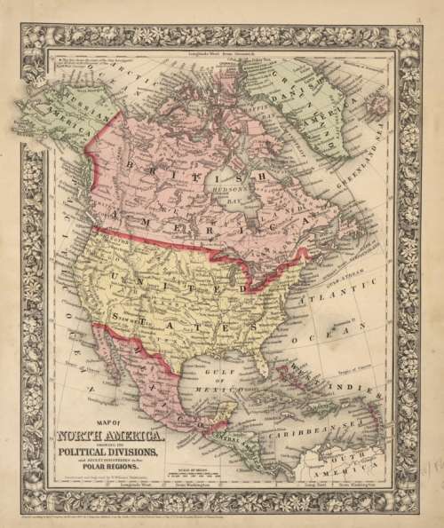
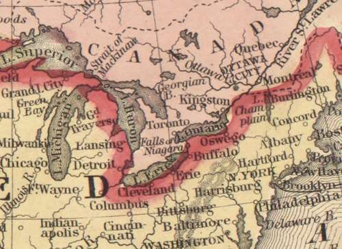
Title: Mitchell's Map Of North America 1860 Digital Download.
Map By: Wellington Williams, Samuel Augustus Mitchell Jr.
Publisher: Mitchell's New General Atlas.
Year Published: 1860.
File Type and Size:  JPG File 1.9MB and JPG 6.2MB File Images.
Printed Size: Can be printed up to A2 / A1 Size.
Info: Map of North America showing its political divisions and recent discoveries in the Polar Regions.
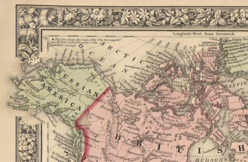
The Map shows major cities, political divisions including Russian America, Danish America, British America, and Central America.
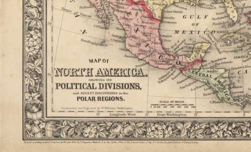
Constructed and engraved by W. Williams, Philadelphia. 
"Entered according to Act of Congress in the year 1860 by S. Augustus Mitchell, Jr. in the Clerks Office of the District Court of the U.S. for the Eastern District of Pennsylvania" 
From: Mitchell's New General Atlas, Containing Maps Of The Various Countries Of The World, Plans Of Cities, Etc.
Clark Library Map Collections.
Condition: Digital Download.
Price: R 295.00.00 Inc Vat.


Please Note: 
On completion of the order a link will be forwarded to your e-mail address for downloading of the file.
Large image files require sufficient processing power and memory capabilities to render efficiently on the screen. 
Prior to printing please ensure that the printer has sufficient RAM for processing the image.


Recently viewed

See more
SFA ENG FAL GR 04 LB SECONDHAND - ENG-GR4
R166.00
50Pcs Insulated Butt Wire Connector Crimp Terminal 10-22AWG 0.5-6.0mm PVC Kit
R366.00
Tristan Da Cunha - 1983 - FDC set - Raphael, 500th anniversary
R31.00 No bids
0261500063 Fuel Injector with Fuel Injector for 13647568607
R808.00